
Explore the Johilla River in Amarkantak, surrounded by lush green forests, rocky streams and scenic hills. Discover its origin, connection with the Son River, cultural significance and nearby attractions with MP Holidays.
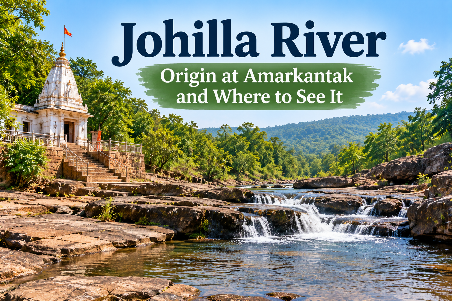
The Johilla River, also called the Johila River or Johila Nadi, originates in the Maikal hill region near Amarkantak in Madhya Pradesh. It flows through the forested landscapes of eastern Madhya Pradesh before joining the Son River system. The river is known for its natural surroundings, regional cultural significance, and connection with Amarkantak's sacred geography.
Amarkantak is one of Madhya Pradesh's most important pilgrimage destinations and is famous for the origins of several rivers, including the Narmada and Son.
While the Narmada attracts the greatest attention from visitors, the Johilla River is also an interesting part of the region's natural and cultural heritage.
This guide explains the river's origin, course, connection with the Son River, local traditions, and places travellers can explore around Amarkantak.
|
Details |
Information |
|---|---|
|
River name |
Johilla River |
|
Alternative names |
Johila River, Johila Nadi |
|
Origin region |
Maikal hills near Amarkantak, Madhya Pradesh |
|
River system |
Ganga basin through the Son River |
|
Major connection |
Tributary of the Son River |
|
General flow direction |
Towards the Son River basin |
|
Landscape |
Forests, hills, valleys, and rural areas |
|
Best time to explore the region |
October to March |
|
Popular nearby destination |
Amarkantak |
|
Travel interest |
Nature, geography and cultural heritage |
The Johilla River's origin is associated with the Maikal hill region near Amarkantak, located in Anuppur district of Madhya Pradesh.
The Maikal hills form an important part of central India's highland landscape and contribute to several river systems.
Amarkantak is particularly significant because it lies close to the headwaters of rivers flowing towards different drainage basins.
The Narmada flows westwards towards the Arabian Sea, while the Son River flows towards the Ganga River system.
Johilla belongs to the Son River drainage system.
Amarkantak occupies a distinctive position in India's geography.
Its elevated terrain, forest cover, and seasonal rainfall support streams and river headwaters.
The surrounding hills influence the direction in which water flows, making the region an important watershed.
Visitors interested in the geography and religious importance of the area can explore Rivers Originating from Amarkantak.
After originating in the Maikal hill region, the Johilla River flows through eastern Madhya Pradesh.
Its course passes through a landscape shaped by forests, agricultural areas, hills, and river valleys.
The river eventually joins the Son River, becoming part of the larger Ganga drainage basin.
The Son River is an important tributary of the Ganga and originates near Amarkantak.
Johilla contributes water to the Son River system.
This relationship makes Johilla part of a much larger network of rivers that drain central and northern India.
For more information about the region's major waterways, read the Son River Guide.
Johilla and Narmada originate within the broader Amarkantak highland region, but they belong to different drainage systems.
The Narmada flows westwards and empties into the Arabian Sea.
Johilla flows into the Son River system, which ultimately connects to the Ganga.
This contrast is one of the most interesting geographical features of Amarkantak.
Unlike major tourist attractions with established viewing platforms, the Johilla River is best explored through its source region and nearby accessible landmarks.
Jwaleshwar Mahadev Temple is one of the most relevant destinations for visitors interested in the Johilla River.
The traditional source area is associated with Jwaleshwar, approximately 10 km from Amarkantak. The river emerges from the surrounding hills, making the area significant for both geography and pilgrimage.
Visitors can explore the temple and learn about the local religious traditions connected with the river.
The precise source stream may not always be easy to identify, particularly during dry weather.
Travel tip: Ask residents or a knowledgeable guide about permitted access to the river's source area.
Rajendragram is an important settlement in the wider Pushprajgarh region.
The Johila River flows through the surrounding area as it continues away from the Amarkantak hills.
This region offers an opportunity to understand how the river moves from forested highlands into rural landscapes.
However, not every riverbank is developed for tourism, and visitors should avoid entering agricultural land or unfamiliar forest routes without permission.
The Johila River system includes reservoirs and water-management structures that support local agriculture and other activities.
The existing MP Holidays destination page describes a reservoir near Podki village and a larger dam in the Birsinghpur region.
These locations illustrate the practical importance of the river to surrounding communities.
They should not automatically be treated as public picnic or boating destinations. Access may be restricted, especially near dams and operational infrastructure.
The Johila Nadi forms part of Amarkantak's rich cultural landscape.
Amarkantak is revered as a sacred region associated with the Narmada, Son and Johila rivers.
In local traditions, rivers are not simply natural waterways. They are also associated with religious stories, pilgrimage and regional identity.
A popular folk story describes Narmada and Son as figures connected through a proposed marriage.
Johila also appears in versions of this legend, sometimes as a companion of Narmada.
According to the story, a misunderstanding or betrayal causes Narmada to turn away and follow a different course.
This narrative is traditionally used to explain why Narmada flows westward while Son and Johila belong to the eastward-draining river system.
The story is part of regional folklore and should not be interpreted as a scientific explanation of river formation.
The river also appears in discussions of ancient geographical names and religious literature.
Some accounts connect Johila with names such as Jyotiratha or Jyotirathya.
These associations reflect the river's cultural importance, although interpretations of historical names can differ between sources.
The river flows through a region known for its forest cover, hills and varied natural habitats.
The upper catchment forms part of the wider Amarkantak highland landscape.
The surrounding region includes forests that support wildlife, birds and native vegetation.
These ecosystems play an important role in protecting soil, supporting groundwater recharge and maintaining natural drainage.
The forests around Amarkantak also contribute to the scenic character of the region.
Visitors interested in nature should use established roads and permitted trails rather than attempting to follow the river through remote terrain.
The Johila River supports surrounding communities through its contribution to regional water resources.
River water and associated reservoirs have been used for agricultural and industrial purposes.
The river's catchment is also important for local drainage and seasonal water availability.
Protecting the river from pollution and uncontrolled waste disposal helps preserve these functions.
The best time to explore the Amarkantak region is generally October to March.
|
Season |
Months |
Travel experience |
|---|---|---|
|
Winter |
October–February |
Comfortable sightseeing and temple visits |
|
Summer |
March–June |
Warmer weather and potentially reduced visible streamflow |
|
Monsoon |
July–September |
Green landscapes and stronger river flow, but greater safety risks |
|
Post-monsoon |
September–November |
Attractive scenery and generally improving travel conditions |
Winter is suitable for travellers who want to combine Jwaleshwar Mahadev Temple with other Amarkantak attractions.
The cooler weather makes road travel and outdoor sightseeing more comfortable.
Rainfall can increase the river's flow and make the surrounding landscape greener.
However, riverbanks may become slippery, and sudden changes in water levels can make approaching streams dangerous.
Avoid entering the water or crossing unmarked channels.
Amarkantak offers several attractions that can be included in a river-focused sightseeing itinerary.
Narmada Udgam Kund
A sacred pilgrimage site traditionally recognised as the origin of the Narmada River, surrounded by temples and religious structures.
Sonmuda
A well-known viewpoint associated with the Son River's origin and the surrounding valley landscape.
Kapildhara Waterfall
A scenic waterfall along the Narmada River, popular for nature sightseeing and photography.
Ancient Temples of Kalachuri
Historic stone temples that reflect the region's architectural and religious heritage.
These attractions make Amarkantak an appealing destination for travellers interested in geography, spirituality, and natural landscapes.
Travellers can combine the Johilla River source region with several nearby pilgrimage attractions.
|
Time |
Suggested activity |
|---|---|
|
8:00 AM |
Begin sightseeing in Amarkantak |
|
9:00 AM |
Visit Jwaleshwar Mahadev Temple and explore the accessible source area |
|
11:30 AM |
Return towards central Amarkantak |
|
12:30 PM |
Lunch break |
|
2:00 PM |
Visit Narmada Udgam Kund |
|
3:30 PM |
Explore Sonmuda or nearby attractions |
|
5:00 PM |
Return to accommodation |
This is a suggested itinerary, not a confirmed transport schedule. Actual timings depend on road conditions, temple hours, and the availability of local transport.
Before planning your trip, consider these practical suggestions:
Confirm the source location: Jwaleshwar is associated with the river's traditional origin, but the precise stream may require local guidance.
Use reliable transport: Some rural roads may be less suitable during heavy rainfall.
Avoid unsafe river crossings: Water depth and flow can change unexpectedly.
Respect religious sites: Follow temple customs and local instructions.
Carry essentials: Bring drinking water, comfortable footwear, and weather-appropriate clothing.
Protect the environment: Do not leave plastic waste near rivers, temples, or forest areas.
Check local access: Reservoirs, forest areas and dam infrastructure may have restrictions.
The Johilla River adds another fascinating dimension to Amarkantak's natural and spiritual heritage.
Although it is less prominent as a tourist attraction than the Narmada, its source region, cultural stories, and connection with the Son River make it an interesting subject for travellers.
Visitors can explore the Rivers Originating from Amarkantak guide for more information about the region's important waterways.
You can also read about the Son River to understand the larger river system connected with Johilla.
For destination information and Madhya Pradesh travel planning, visit MP Holidays.
The Johilla River is an important part of the Amarkantak region's geography, ecology, and cultural heritage.
Originating in the Maikal hills near Jwaleshwar, it flows through eastern Madhya Pradesh before joining the Son River system.
Its connection with Amarkantak's sacred landscape, regional folklore and surrounding forests makes it a worthwhile subject for travellers interested in rivers and natural history.
Visitors can explore Jwaleshwar Mahadev Temple, Narmada Udgam Kund, Sonmuda and other nearby attractions to experience the region's distinctive combination of spirituality and nature.
Plan your next Madhya Pradesh journey with MP Holidays
 Mohadi Falls: Location, Distance, Best Time and Safety TipsRead more →
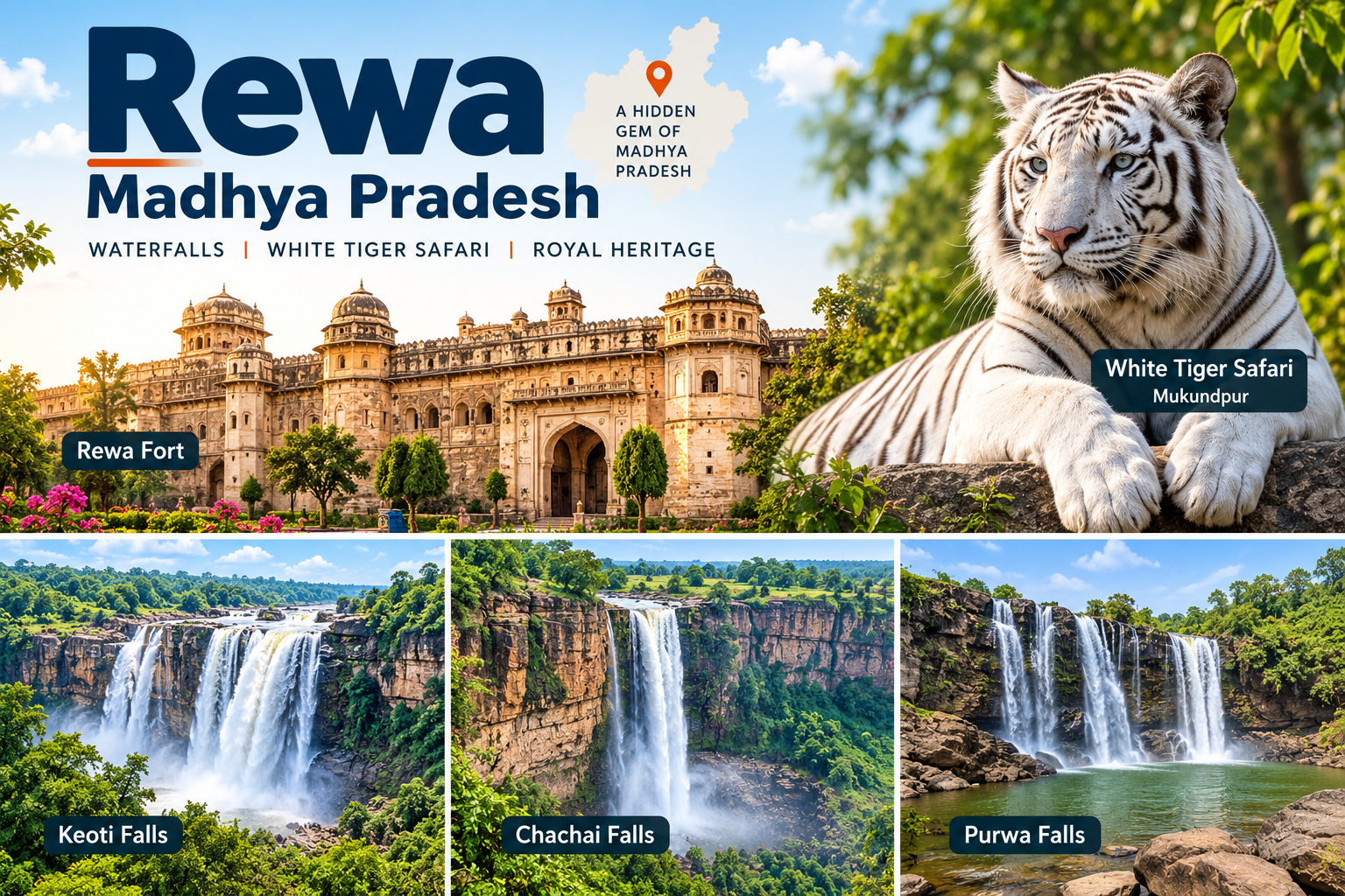 Rewa, Madhya Pradesh: Places to Visit, Waterfalls and White Tiger SafariRead more →
 Panna Diamond Mines: Can You Visit, Timings and How to ReachRead more →
 Chauragarh Temple, Pachmarhi: Trek, Steps, Timings and MahashivratriRead more →
Tell us your dates and we will send a custom itinerary. Free quote, no obligation.
Everything travellers ask us most often. Still unsure? Message us on WhatsApp and a real MP Holidays expert will reply.


